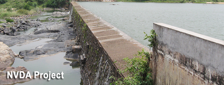
Brief Note
Madhya Pradesh Government proposes to implement a number of Medium and Minor Projects in Narmada basin to provide irrigation water to semi-arid regions of Khandwa, Harda, Dewas and a part of Indore and Khargone districts
Group-’A’ comprises region from Downstream of Handia Guage Site to Omkareshwar Dam site covering a CCA of 1,30,000 Ha under the different Sub-Basins in Madhya Pradesh.
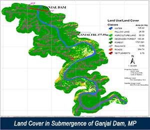
Project involves identifying all the Medium and Minor projects in the 10 Sub Basins, downstream of confluence of Morand and Ganjal with River Narmada up to Omkareshwar Dam on Narmada, and other small tributaries directly draining to River Narmada. The Project extent covers an area of 16000 Sqkms using Satellite Images. The identified projects excluding those already completed and under construction whose anticipated area being 1,30,000 Ha are to be planned, designed and cost estimated. Preparation of Detailed Project Reports of all the remaining projects and obtain necessary Statutory clearances such as Environmental ministry, Forest, Tribal affairs and Obtaining Technical Clearance from Central Water Commission.
- Collection of Data
- Engineering Survey and Processing of High Resolution Satellite Images
- Geotechnical and Geophysical Investigations
- Preparation of Basin Plans, Techno Economic Feasibility Reports and Detailed project Reports.
- Submission of Detailed Project Report to Central Water Commission
- Obtaining Clearances
- Detailed Design Drawings and Estimates