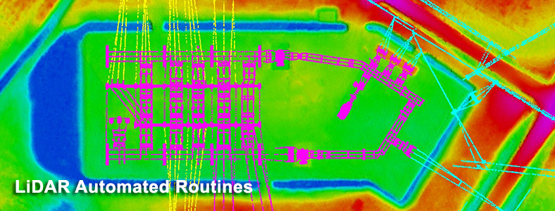
Key Features
- Edge Match checking.
- Contour Cutting for obscured area detection.
- Adding vertices proportionally to break lines.
- Interactive Upstream flow checking and editing.
- Contour Z checking.
- Check Steep Elevation
- Contour text cut
- Spot Correction
- Checking Under-Over Shoot of contours
- Tile Cutting (Irregular)
- 3D snapping
- Plotting of Photo Exposure Coordinates
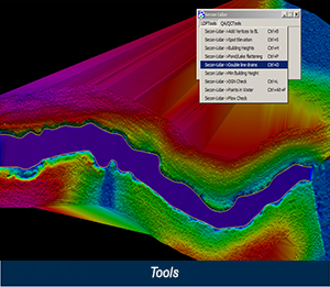
Tools
LiDAR Data Processing Tools
- Adding Vertices to Break lines at specified distances.
- Automatic Spot elevations for Tops and Bottoms.
- Automatic Spot elevations for Road Intersections.
- Plotting of Average, Minimum and Maximum heights of building structures.
- Pond/Lake flattening for LiDAR points and for Vertices elevation.
- Showing the distinction of elevations in Double Line Drains.
- Detecting minimum building elevation using LiDAR points.
QA/QC Tools
- Comparison of group of design files with seed design file and showing results in text file. Comparison includes Global Origins, Working Units, Difference in Levels, Missing and Extra Levels, Color, Line Style and Line Width etc.
- Finding MP (Modal Points) in water surface.
- Monotonicity checking.